More about Buick City
I picked up a book, it is "The Pere Marquette in 1945" which was prepared by the Ry itself. It shows everything you could want to know about the entire company for that year.
They describe Buick City as a literal city, complete with it's own fire department, police department, hospitals, etc.
They also go on to say that it had over 15 miles of trackage. All serviced by PM and the Flint Belt Railway (which is still PM, just different corporate officers, they rented power and people from the PM and only owned 8.03 miles of actual trackage. Outside of the trackage, which was maintained by the PM, they had no physical plant to speak of.)
That could be a layout unto itself.
Passenger trains never passed over the southbound main past Buick City, instead it circled around the western side of Flint. I have no idea how I am going to come up with a cohesive plan to cover this ground in my 13'x15' area.
My ambition is to fulfill a hefty wish list, which I am finding that I am going to have to render some fat from.
I wanted to model the stretch between Mt. Morris to Atwood Junction, which was the North/South passenger route, and as mentioned ran seperately from the Buick City traffic. Along this route I was going to include McGrew yard, a salvage yard, Gern, 2 passenger stations, and a few other industial locations. Off of the south end of McGrew I was going to add a penninsula to include Buick City (Obviously seriously compressed).
I don't know how I am going to do this, and still maintain space for northbound and southbound staging.
I may have to eliminate the passenger bypass, and send em south past BC. Modeling BC using background buildings, for the most part, and some larger sized scale buildings (which can be used as hidden staging as well)
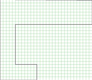
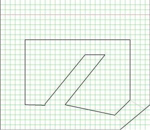
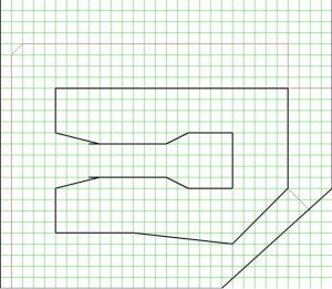
As soon as I can remember how to convert an Xtrack file to a jpeg I will post a concept or 3 and see if I can get some ideas from those more learned than I.
Matt